Madoufti
Discovered:
Pars Tamin Mining Development Company
Position:
Kharstan–Bidaster
Area of the area:
64 square kilometers
Mineralization type:
High-Sulfidation Epithermal Gold and Porphyry Copper Deposit
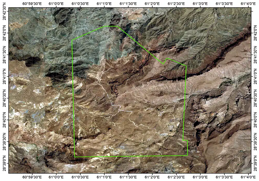
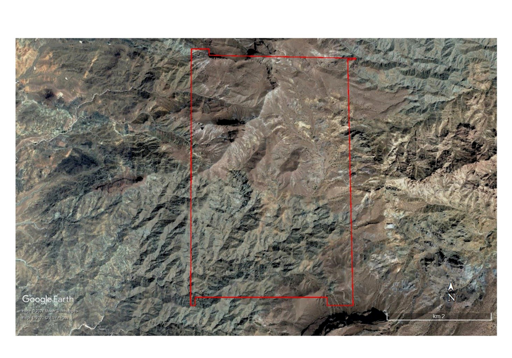
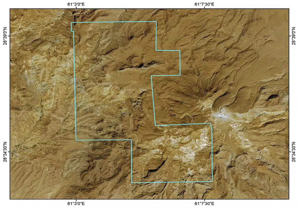
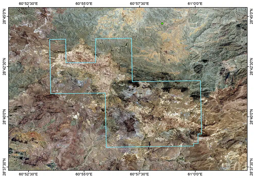
The Madoufti area, covering 64 square kilometers, holds a Discovery Certificate and Mining Exploitation License in Sistan and Baluchestan Province. It is located 130 kilometers south to southeast of Zahedan and approximately 7 kilometers northwest of the Taftan volcano. The Madoufti exploration area is located adjacent to one of the active tectono-magmatic centers. Intense geological activity in this region, represented by Mount Taftan volcano, has resulted in significant geological disruption and complexity. From a lithological perspective, the exploration area comprises a mélange unit consisting of shale, carbonate rocks, and ultramafic rocks of Late Cretaceous age; a sedimentary-metamorphic unit composed of metaslate to slate of Late Cretaceous to Eocene age; extrusive igneous units consisting of andesite; pyroclastic fall rocks with a lithological composition of lithic tuff; volcanic breccia; and hypabyssal rocks ranging in composition from granodiorite to quartz diorite of Quaternary age. The main alteration processes in the Kharstan–Bidaster area are, respectively, argillic, silicic, alunitic, and silicic–argillic alteration.
In the Madoufti exploration area, during the reconnaissance and prospecting exploration studies, one geological map sheet at a scale of 1:25,000 covering an area of 64.8 square kilometers was prepared, two geological map sheets at a scale of 1:10,000 covering an area of 64.8 square kilometers were prepared, 1,388 lithogeochemical samples were collected and analyzed systematically using a 250*250-meter grid, 6,585 surface lithogeochemical samples were collected and analyzed using a non-systematic method to identify gold and copper mineralization anomalies, 14,343 magnetometric stations were surveyed, and 30 kilometers of roads were constructed.
During the detailed exploration phase, five geological map sheets at a scale of 1:5,000 covering an area of 25 square kilometers were prepared, 14 geological map sheets at a scale of 1:1,000 were prepared for three prospective targets covering an area of 1,750 hectares, a topographic map at a scale of 1:1,000 and an orthophoto covering an area of 64.8 square kilometers were prepared, 135 geophysical points were surveyed using the Electromagnetic (EM) method to identify the body and delineate the lithocap containing gold mineralization, 202 geophysical points were surveyed using the Audio-Magnetotelluric (AMT) method, and gravity surveys were conducted on a 250*250-meter grid to delineate gold-bearing units, identify the porphyry copper mineralization system and deep bodies responsible for mineralization. In addition, 3,500 meters of exploration trenches were excavated, 3,500 trench samples were collected and analyzed, sites were prepared, and 111 diamond drill holes with a total length of 24,248 meters were drilled. Furthermore, 33 RC drill holes with a total length of 2,534 meters were drilled, and hydrological and hydrogeological studies were carried out.
A total of 297 thin and polished sections were prepared from surface and subsurface samples and studied, and 20 samples were also collected from drill cores and measured to determine their specific gravity. The estimated copper and gold resources of the Madoufti area in three blocks amount to 24 million tonnes of ore with an average gold grade of 1.06 grams per tonne, and approximately 696 thousand tonnes with an average copper grade of 0.45%.
Representative samples were also collected and laboratory-scale metallurgical tests were conducted. According to the results, gold recovery in both samples was above 91%, indicating that the gold ore in question is non-refractory and does not require the use of complex gold processing methods.