Pars 4
Discovered:
Pars Tamin Mining Development Company
Position:
Ladiz
Area of the area:
14 square kilometers
Mineralization type:
High-Sulfidation Epithermal Gold
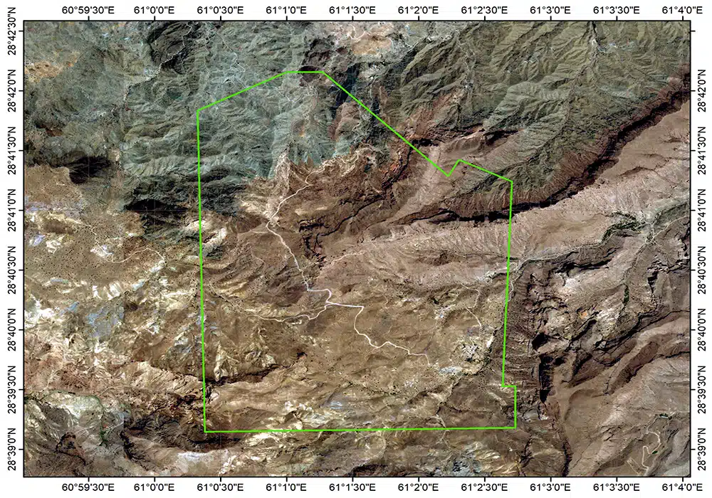
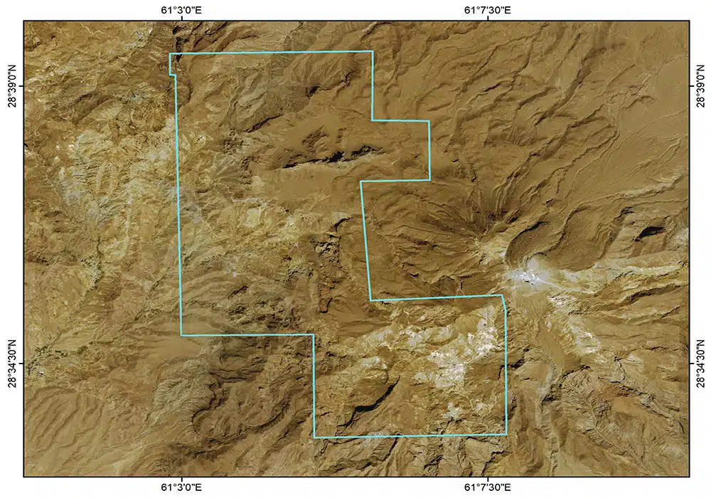
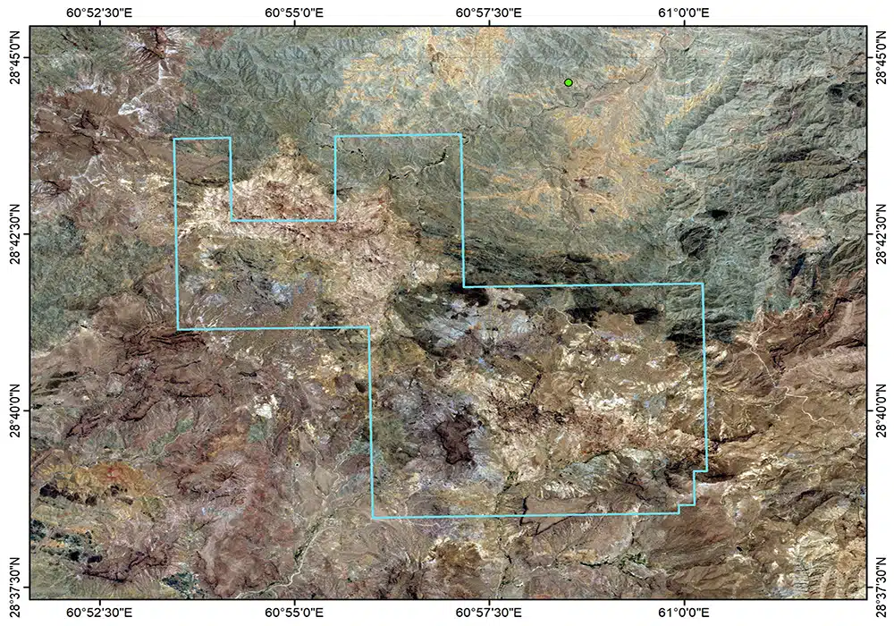
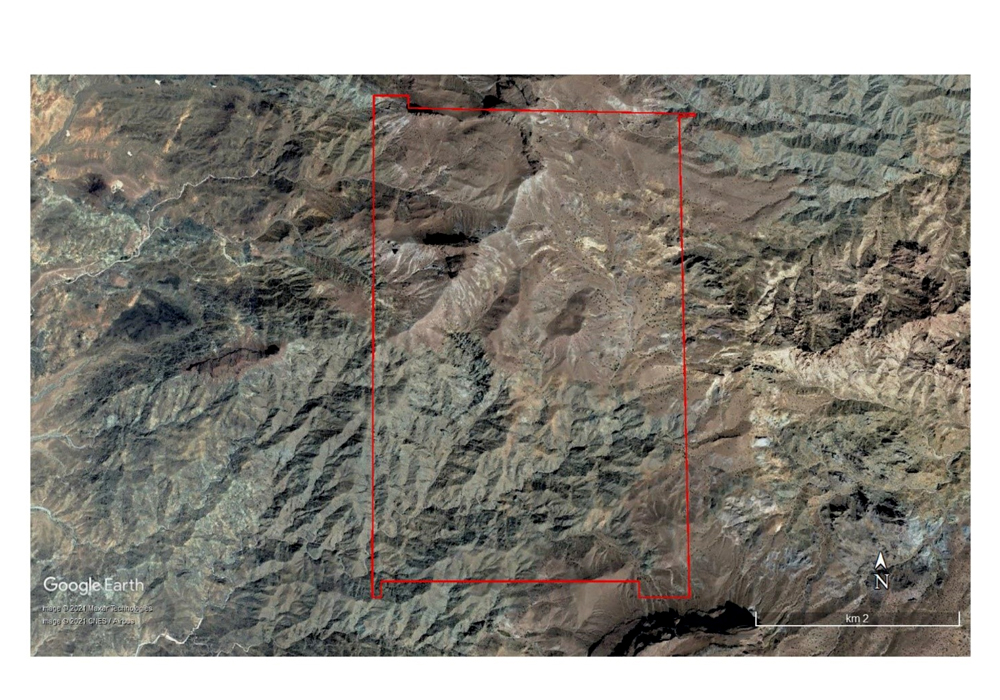
The Pars 4 area, covering 14.2 square kilometers, holds an Exploration License in Sistan and Baluchestan Province. It is located 115 kilometers south to southeast of Zahedan and 60 kilometers north of the city of Khash. The Pars 4 exploration area is located adjacent to one of the active tectono-magmatic centers. Intense geological activity in this region, represented by Mount Taftan volcano, has resulted in considerable geological disruption and complexity. From a lithological perspective, the exploration area comprises a mélange unit consisting of shale, carbonate rocks, and ultramafic rocks of Late Cretaceous age; a sedimentary-metamorphic unit composed of metaslate to slate of Late Cretaceous to Eocene age; extrusive igneous units with andesitic composition; pyroclastic fall rocks consisting of lithic tuff; volcanic breccia; and lahar of Quaternary age. The main alteration processes in the Pars 4 area are, respectively, argillic, silicic, and argillic–silicic alteration.
In the Pars 4 exploration area, during the reconnaissance and general exploration phase, one geological map sheet at a scale of 1:25,000 covering an area of 14.2 square kilometers was prepared, 111 surface samples were collected and analyzed using a non-systematic method to identify gold and copper mineralization anomalies, and 30 kilometers of roads were constructed.
During the general exploration phase, two geological map sheets at a scale of 1:5,000 covering an area of 14.2 square kilometers were prepared, 322 samples were collected from surface outcrops, 24 samples were collected for XRD analysis, 32 samples were collected for petrographic studies, and 3,360 geophysical points were surveyed using the Induced Polarization–Electrical Resistivity (IP/RS) method to delineate gold-bearing mineralized units.
During the detailed exploration phase, one geological map sheet at a scale of 1:1,000 covering an area of 450 hectares was prepared, a topographic map at a scale of 1:1,000 and an orthophoto covering an area of 14.2 square kilometers were prepared, 29 exploration trenches were excavated, with 761 samples collected and analyzed, and site preparation and diamond core drilling totaling 800 meters in 8 boreholes were carried out.
The estimated copper and gold resources of the Pars 4 area amount to 870,000 tonnes of gold-bearing resources with an average grade of 0.51 grams per tonne.
The Pars 4 area, covering 14.2 square kilometers, holds an Exploration License in Sistan and Baluchestan Province. It is located 115 kilometers south to southeast of Zahedan and 60 kilometers north of the city of Khash. The Pars 4 exploration area is located adjacent to one of the active tectono-magmatic centers. Intense geological activity in this region, represented by Mount Taftan volcano, has resulted in considerable geological disruption and complexity. From a lithological perspective, the exploration area comprises a mélange unit consisting of shale, carbonate rocks, and ultramafic rocks of Late Cretaceous age; a sedimentary-metamorphic unit composed of metaslate to slate of Late Cretaceous to Eocene age; extrusive igneous units with andesitic composition; pyroclastic fall rocks consisting of lithic tuff; volcanic breccia; and lahar of Oligocene to Quaternary age. The main alteration processes in the Pars 4 area are, respectively, argillic, silicic, and argillic–silicic alteration.
In the Pars 4 exploration area, during the reconnaissance and general exploration phase, one geological map sheet at a scale of 1:25,000 covering an area of 14.2 square kilometers was prepared, 562 surface samples were collected and analyzed using a non-systematic method to identify gold and copper mineralization anomalies, and 30 kilometers of roads were constructed. During the detailed exploration phase, two geological map sheets at a scale of 1:5,000 covering an area of 14.2 square kilometers were prepared, one geological map sheet at a scale of 1:1,000 covering an area of 450 hectares was prepared, a topographic map at a scale of 1:1,000 and an orthophoto covering an area of 14.2 square kilometers were prepared, 3,360 geophysical points were surveyed using the Induced Polarization–Electrical Resistivity (IP/RS) method to delineate gold-bearing mineralized units, 29 exploration trenches were excavated and 761 samples were collected and analyzed, and site preparation and diamond core drilling totaling 800 meters were carried out.
The estimated copper and gold resources of the Pars 4 area amount to 870,000 tonnes of gold-bearing resources with an average grade of 0.51 grams per tonne.