Pars 3
Discovered:
Pars Tamin Mining Development Company
Position:
Nukabad
Area of the area:
59 square kilometers
Mineralization type:
Polymetallic Gold, Copper, and Possibly a Porphyry Copper System
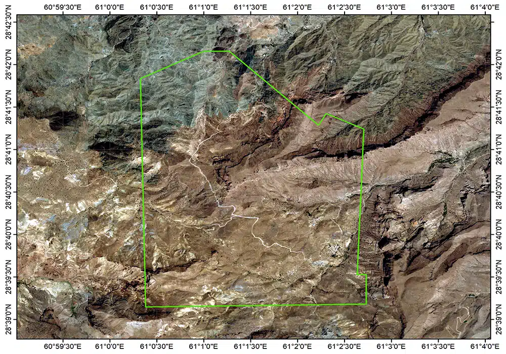
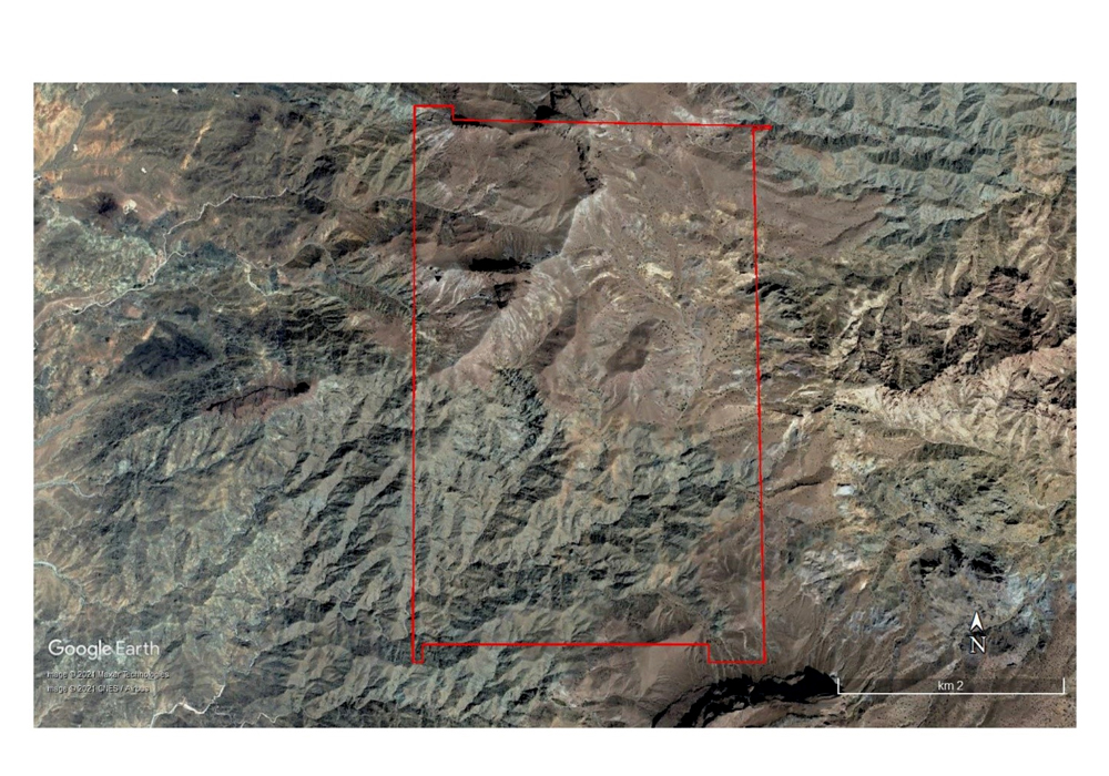
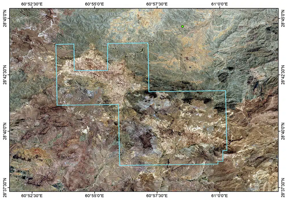
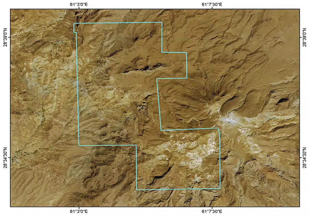
The Pars 3 area, covering 58 square kilometers, holds an Exploration License in Sistan and Baluchestan Province. It is located 120 kilometers south to southeast of Zahedan and 37 kilometers north of Khash County. The Pars 3 exploration area is located in the southeastern Iranian zone and, according to the map of Iran’s structural-sedimentary units, encompasses part of the Nehbandan–Khash Flysch Zone.
The exposed units in the Pars 3 area are associated with the Taftan volcano. This volcano belongs to the Makran Magmatic Arc, which extends approximately east–west, parallel to the general trend of the Makran accretionary prisms. From a lithological perspective, the Pars 3 exploration area comprises extrusive igneous units with andesitic composition, pyroclastic fall deposits consisting of lithic tuff, volcanic breccia, and lahar of Quaternary age. The main alteration processes in the Pars 3 area are argillic and silicic–argillic alteration, respectively.
In the Pars 3 exploration area, during the reconnaissance and identification exploration phase, one geological map sheet at a scale of 1:25,000 covering an area of 58 square kilometers was prepared, 192 lithogeochemical samples were collected and analyzed using a non-systematic method to identify gold and copper mineralization anomalies, 70 thin and polished sections were collected and studied, and 5 kilometers of roads were constructed.
During the detailed exploration phase, two geological map sheets at a scale of 1:5,000 covering an area of 14 square kilometers were prepared, two geological map sheets at a scale of 1:1,000 were prepared for two prospective targets covering an area of 400 hectares, a topographic map at a scale of 1:1,000 and an orthophoto covering an area of 400 hectares were prepared, 1,200 meters of exploration trenches were excavated, 888 samples were collected and analyzed from the exploration trenches, 160 samples were collected and analyzed along the surveyed profiles, sites were prepared for drilling exploration boreholes, and 50 geophysical points were designed using the Audio-Magnetotelluric (AMT) method.